Our tools
Digital Reef builds tools that help community groups stay informed about the decisions, events and changes that affect the places they care about across Aotearoa New Zealand.
We built these tools because community groups - tramping clubs, conservation trusts, disability organisations, recreation clubs - deserve the same access to civic and environmental information that well-resourced organisations take for granted. When a council proposes a plan change, when a Fast-track Approval is lodged, when new legislation affects a river or a ridgeline, the people most affected should be the first to know - not the last.

Nemo
OperationalThe watching and notifying tool
Nemo monitors environmental and civic notices across Aotearoa New Zealand so you don't have to. Government agencies, councils, the NZ Gazette, legislation databases, emergency services - they all publish notices that affect communities. Plan changes, consent applications, new regulations, track closures, emergency alerts. The information is public, but it's scattered across dozens of websites, published at different times, in different formats. Keeping up with it all is a full-time job that most community groups simply can't do.
Nemo does that job. It watches the sources that matter, classifies each notice by subject, region and urgency, and routes the right information to the right people. If a new Fast-track Approval affects a river your kayaking club cares about, Nemo will tell you. If legislation changes the rules for backcountry hut access, the tramping clubs that need to know will hear about it.
This isn't a news feed - it's a structured, reliable information service designed for organisations that need to act on what they learn.
- Monitors multiple government and civic source categories daily
- Classifies every notice by source, subject, region and urgency
- Routes information through six thematic guilds to the right people
- Transparent, auditable classification
- Curated notifications sent directly to your email only on what you want to know
GIS Platform
OperationalSee it on the map
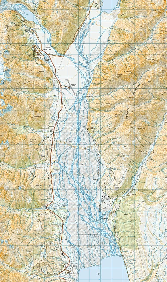
When you can see where something is happening, you understand it differently. Our GIS Platform takes the notices Nemo finds and places them on a map of Aotearoa New Zealand, so you can see at a glance what's happening in your region.
Every geocoded notice appears on authoritative New Zealand basemaps, layered by source and subject. You can toggle layers on and off - show just the Fast-track Approvals, or just the emergency alerts, or everything at once. The spatial view reveals patterns that lists of notices never can: which areas face the most regulatory activity, where environmental changes cluster, how decisions in one region connect to decisions in another.
Beyond Nemo's notices, the GIS Platform provides access to reference layers covering place names, conservation areas, waterways, tracks and other features across Aotearoa New Zealand. These layers give context to the notices - you can see not just that a consent application has been lodged, but where it sits in relation to the places your organisation cares about.
- Authoritative NZ basemaps with toggleable thematic layers
- Geocoded notices from all of Nemo's source categories
- Reference layers for tracks, waterways, conservation areas and place names
- Spatial patterns visible at a glance
Aronnax
Preparing for deploymentCommunity voice on the map
Official data tells part of the story. Communities tell the rest. Aronnax puts both on the same map.
Aronnax is a participatory mapping tool for community groups. It lets you design surveys, collect geolocated observations from your members, and see the results on a map alongside official data. A conservation group can map pest sightings. An accessibility organisation can map access barriers and facilities. A tramping club can record track conditions after a storm. The data stays yours - Digital Reef provides the tool, not the ownership.
We built Aronnax to work offline first. Many of the places where community data collection matters most - backcountry tracks, remote coastlines, rural communities - don't have reliable internet. With Aronnax, your team can collect data in the field without a connection. When they're back online, everything syncs automatically.
- Survey builder with structured data collection and validation rules
- Offline-first - collect data without internet, sync when back online
- Photo, GPS and polygon capture in the field
- Survey generation - describe what you need, get a draft form
EmergencyNet
OperationalOff-road emergency response routing
EmergencyNet brings off-road routing data into emergency response. When someone calls 111 from a trail, track, or river, dispatch has no spatial data beyond the road edge - EmergencyNet fills that gap. It runs today as an operational model across the Queenstown-Lakes District and wider Otago, built to scale nationally.
EmergencyNet sits within the Emergency Response Guild, developed alongside the emergency management community.
How they work together
Nemo watches. The GIS Platform shows. Aronnax listens. EmergencyNet routes.
Our tools are not isolated products. They are parts of a connected system, each serving a different role in the same mission: ensuring community groups have the information they need about the places they care about.
Nemo monitors government agencies, legislation databases and emergency services. When something new appears, it classifies the notice and passes it along. The GIS Platform takes what Nemo finds and places it on the map, so you can see the spatial picture of what's happening in your region. Aronnax collects community observations and places them on the same map as official data, so both perspectives sit side by side.
The guild model ties it all together. Our six guilds - Airspace, Landspace, Waterspace, Accessibility, Emergency Response and Conservation - act as the organising principle across every tool. A tramping club hears about track closures and access changes, not aquaculture consents. A conservation trust hears about biodiversity decisions, not aviation notices. And when something goes wrong in the backcountry, EmergencyNet provides the routing network that connects incident locations to help. The right information reaches the right people, every time.
Founding Members Get Early Access before June 2026
Founding members get early access and help shape the direction of Digital Reef's tools. Our charitable trust structure means everything we build serves community groups - we're not selling software, we're lowering barriers to information that has always been public but has never been easy to find.