Cross-cutting Guild
Emergency Response
Search and rescue, civil defence, natural hazards, and the systems that keep us safe
Emergency Response is about the people and systems that spring into action when things go wrong. It is the Westland SAR team responding to a lost tramper, the CDEM coordinator managing a flood, the GeoNet seismologist monitoring earthquake risk, the MetService forecaster warning of severe weather. If you are involved in emergency management, search and rescue, hazard monitoring, or disaster response, Emergency Response is your guild.
Who's in Emergency Response?
- Search and rescue organisations (LandSAR, Coastguard)
- Civil Defence and Emergency Management (CDEM) groups
- Fire and emergency services
- Hazard monitoring networks (GeoNet, MetService)
- Volunteer emergency responders
- Emergency management planners
- Disaster recovery organisations
- Community resilience groups
Key federations
- NZ Land Search and Rescue
- Surf Life Saving New Zealand
- Coastguard New Zealand
Why it matters
Emergencies do not wait. But the systems that respond to them are constantly evolving. New hazard monitoring networks come online. CDEM plans change. SAR protocols update. Funding for emergency services shifts. Nemo watches the emergency management system so responders can stay informed and communities can prepare.
Digital Reef Project
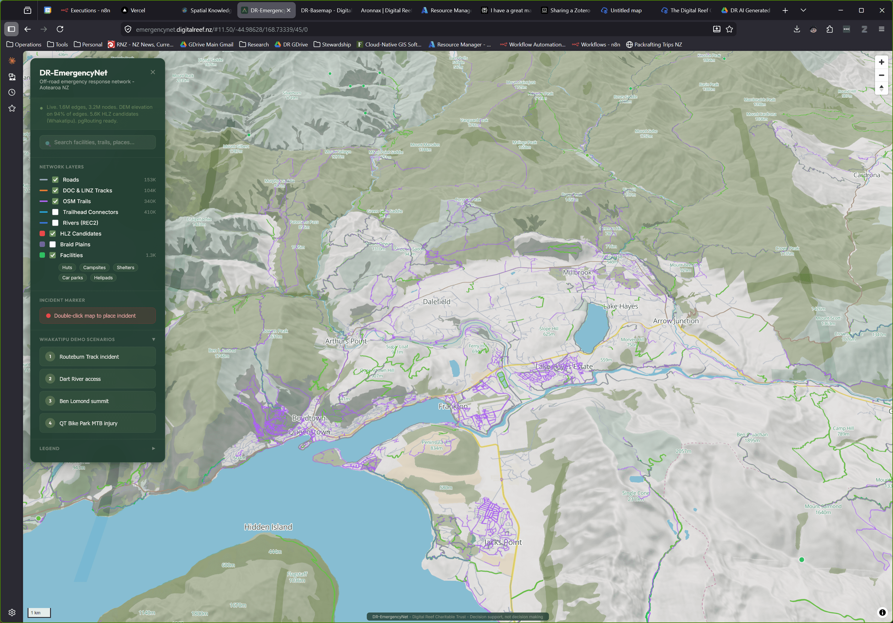
EmergencyNet
Off-road emergency response routing for Aotearoa
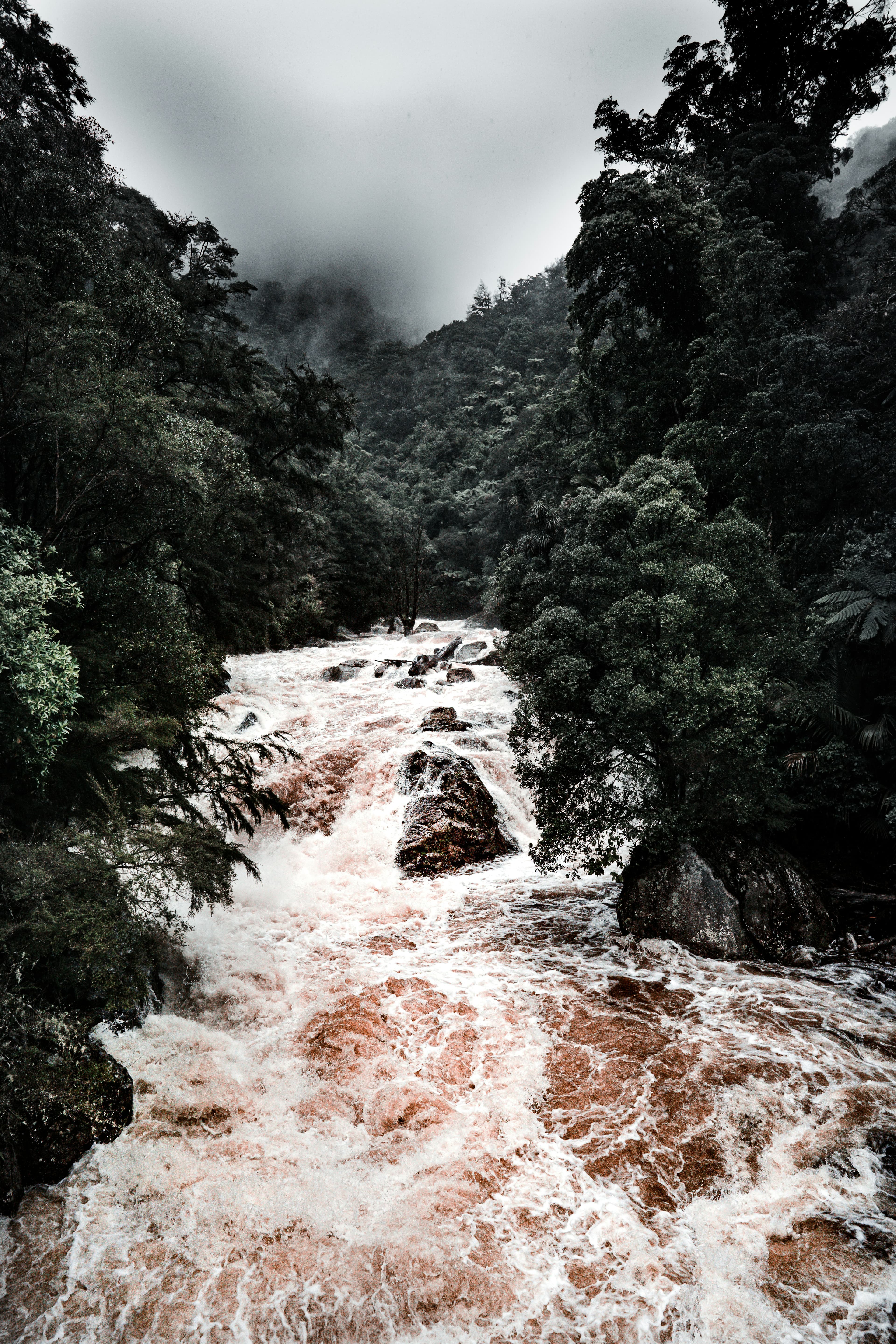
When someone calls 111 from a trail, track, or river, emergency dispatch has no spatial data beyond the road edge. EmergencyNet fills that gap, connecting publicly documented tracks, trails, and navigable rivers across Aotearoa New Zealand to the national road centreline.
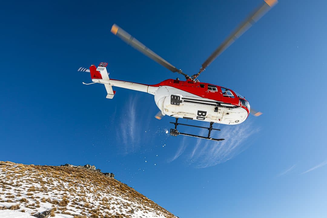
It calculates real routes and estimated travel times by mode - foot, mountain bike, 4WD, helicopter, or jet boat - and finds the nearest huts, shelters, and medical facilities by network distance rather than straight-line estimates.
EmergencyNet runs today as an operational model across the Queenstown-Lakes District and wider Otago, built to scale nationally in support of emergency dispatch and search and rescue coordination.
- Route from any GPS coordinate to nearest road access with travel time estimates
- Helicopter landing zone identification with DEM-derived confidence ratings
- Multi-modal routing across track, river, and road networks
- Nearest facility lookup - huts, shelters, campsites, medical facilities
- Quality transparency - every edge carries a source attribution and quality score
What Nemo alerts you to
- Natural hazard alerts (earthquakes, volcanic activity, flooding, severe weather)
- CDEM plan changes and emergency management updates
- Search and rescue operation alerts
- Civil defence exercises and training
- Hazard monitoring network updates
- Emergency funding and support announcements
- Resilience and preparedness policy changes
Why Hazard Red Colour?
The Emergency Response Guild uses Hazard Red (#ed0c0c) from the Hazards & emergency family of the DR GIS Colour Scheme. Our colours follow Nelson's "looks like the thing" principle - every colour must survive the question "does this look like what it represents?"
Explore other guilds
Be ready. Be informed. Be safe.
Join the Emergency Response Guild
Founding members help shape how their guild works - what information gets prioritised, how data is structured, and what tools get built first.